Designed Growth: From Mulberry to Tims Ford
8:01 a.m. Nov. 26, 2025

DUANE CROSS
MCO Publisher•Editor
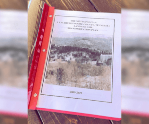
In January 2010, Moore County adopted its 2009-2029 Land Use and Transportation Plan, aiming to balance small-town charm with future growth. The plan focused on expanding recreation, improving public services, and protecting the area’s natural beauty.
At the time, Moore County had less public and recreational land than many similar communities. The plan saw this as an opportunity to grow in ways that would improve life for residents and attract more visitors.
Schools and Public Facilities
When the plan was adopted, Moore County had one elementary and one high school for all students. While there was no immediate need for new schools, the plan recognized that future growth might require expanding or updating these facilities. It also pointed out that schools serve as important community centers, hosting events and gatherings outside of regular classes.
County leaders were encouraged to plan for public buildings that are efficient and well-located, with good access to parking, roads, nearby land uses, and scenic areas. At the time, only one county convenience center on Highway 129 near the Highway Department served all residents. Planners recommended adding at least two more centers to make recycling and waste management easier in growing parts of the county.
Greenways and Open Space Potential
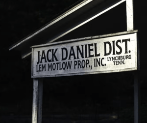
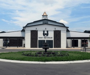
A key proposal in the plan was to create a countywide greenway and trail system that would connect parks, schools, and natural areas. The first phase focused on Mulberry Creek, starting near Thomas Wiseman Community Park just south of Main Street in Lynchburg. The planned route would go northeast past the Jack Daniel Distillery, follow Highway 55 toward Moore County High School, and eventually reach northern areas like Five Points.
Later phases would add trails southeast along Winchester Highway toward the Lost Creek area of Tims Ford Lake, bringing more recreational space into the county’s wooded areas. The plan stressed the importance of protecting these woodlands through land purchases, easements, or voluntary agreements. The long-term goal was to connect greenways to Tims Ford State Park and the Elk River corridor.
Call for Organized Recreation and Cultural Growth
The plan recommended creating a formal Parks and Recreation Department with a director to manage facilities, programs, and planning. It also made countywide and neighborhood parks a priority, both for residents and to draw more visitors.
The plan encouraged Moore County to work with landowners to create new parks, partner with schools to share recreational spaces, and use the area’s cultural assets and history to boost tourism. It also suggested improving existing landmarks, such as upgrading Tims Ford State Park, adding public cabins and lake attractions, and working with Franklin County to build walking trails along both sides of the Elk River.
Preserving Character While Planning Ahead
The plan placed equal importance on preservation and beautification, urging local officials to protect historic structures and sites in Lynchburg and throughout the county. A countywide beautification and anti-litter campaign was recommended, along with expansions to recycling efforts.
For public infrastructure, planners suggested creating a detailed community facilities plan to assess current and future service needs. This plan would help guide the county’s budget decisions and make sure facilities keep up with population growth.
Looking to the Next Decade
As the plan nears the end of its original timeline, Moore County’s 2009-2029 plan is still an important guide. It links growth management to the community’s core values, such as protecting open spaces, keeping public services efficient, and offering accessible parks, scenic trails, and cultural experiences rooted in local heritage.
2009-2029 Land Use and Transportation Plan

Plan Puts Woodlands and Farmland First
In January 2010, Moore County leaders outlined strict protections for open space, steep slopes, and historic landscapes in a long-range growth plan.

Utilities at center of Moore County’s Land Use Plan
Within the long-overlooked Land Use Plan, its utilities policies were designed to shape where and how development happens next.

The Road to Industry Runs Through Infrastructure
The Industrial section of the 2009-2029 Land Use Plan establishes a clear framework for how Moore County should grow its industrial sector.

The Plan: Revitalize downtown, shape growth
The focus on revitalizing Downtown Lynchburg – balancing historic preservation with smart commercial growth – was a tenet of the Land Use and Transportation Plan.

Moore County’s Forgotten Blueprint for Growth
Did you know there’s a 20-year land use and transportation plan guiding how our community develops, preserves farmland, and improves local roads?